| GER - GERMANY | |||||||||||||||||||||
| DIEPHOLZ | |||||||||||||||||||||
| Description | |||||||||||||||||||||
| Location |
Diepholz NI - Niedersachsen - 1949÷1990: BRD |
||||||||||||||||||||
| Latitude - Longitude |
+ 52°35'08" + 8°20'27" 52.585556 8.340833 |
||||||||||||||||||||
| UTM Coordinates | X = 455340.888 - Y = 5826372.713 - Zone 32U | ||||||||||||||||||||
| Aerial photo / Map (*) |
 OpenStreetMap - Google Maps - Bing Maps - Zoom Earth - Wikimapia |
||||||||||||||||||||
| Altitude AMSL | 35 m - 115 ft | ||||||||||||||||||||
| Inauguration | 1968 | ||||||||||||||||||||
| Closing | 1998 | ||||||||||||||||||||
| Designer | |||||||||||||||||||||
| Sources and links (Translation) (**) |
|
||||||||||||||||||||
| Diepholz | |||||
| Description | |||||
| Years | 1968÷1996 | ||||
| Direction |
 Anticlockwise |
||||
 Proposal |
NO | ||||
| No longer operational | YES | ||||
| Car Circuit | YES | ||||
| Motorbike circuit | |||||
| Type | Airfield course | ||||
| Inauguration | 1968 | ||||
| Closing | 1996 | ||||
| Last update of this page | June 24th 2006 | ||||
| Info last update | |||||
| Designer | |||||
| Distinctive points | |||||
| length | 2600 m | 8530 ft | 1.616 mi | (1) | |
| length | 2720 m | 8924 ft | 1.69 mi | (4) | |
| Diepholz | |||||
| Description | |||||
| Years | 1997÷1998 | ||||
| Direction |
Anticlockwise
|
||||
|
Proposal
|
NO | ||||
| No longer operational | YES | ||||
| Car Circuit | YES | ||||
| Motorbike circuit | |||||
| Type | Airfield course | ||||
| Inauguration | 1997 | ||||
| Closing | 1998 | ||||
| Last update of this page | June 24th 2006 | ||||
| Info last update | |||||
| Designer | |||||
| Distinctive points | |||||
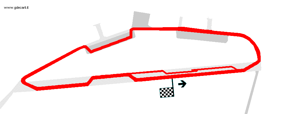
Diepholz 1970
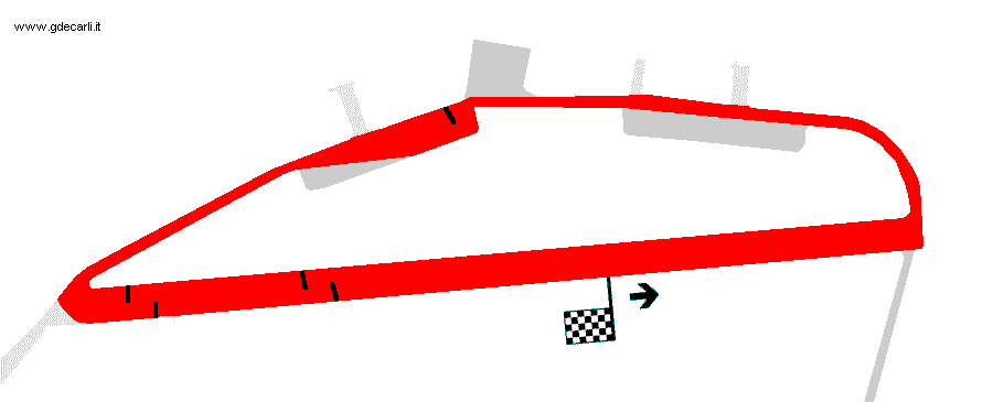
Diepholz 1978
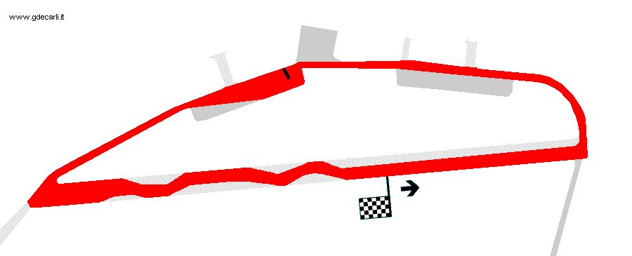
Diepholz 1989
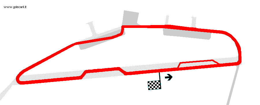
Diepholz 1991
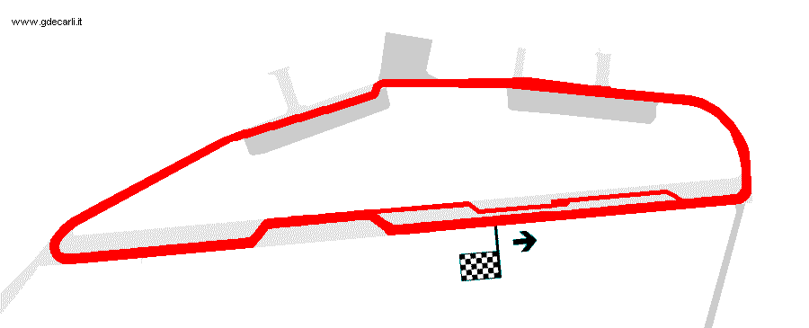
Diepholz 1993
| Updates | |||||||
| Date | Track layout | Years | Description by | Map by | Thanks to | Note | |
| April 3rd 2011 | Guido de Carli | Metzo | Update | Description | |||
| Not all eventual updates issued in last years are already visible in this list | |||||||


