| ITA - ITALY | |||||
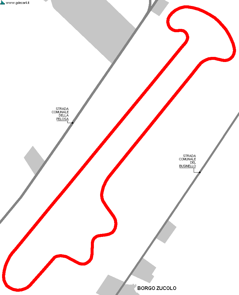
| VICENZA (2006) | |||||
| Not to be confused with | Vicenza | ||||
| Description | |||||
| Location | Borgo Zucolo, Vicenza VI - Vicenza - Veneto | ||||
| Location | Near motorway exit Vicenza Est, ,between Strada Comunale della Pelosa and Strada Comunale del Businello | ||||
| Latitude - Longitude | + 45°30'26" + 11°35'47" 45.507222 11.596389 | ||||
| UTM Coordinates | X = 702820.493 - Y = 5042578.087 - Zone 32T | ||||
| Aerial photo / Map (*) |  OpenStreetMap - Google Maps - Bing Maps - Flash Earth - Wikimapia OpenStreetMap - Google Maps - Bing Maps - Flash Earth - Wikimapia | ||||
| Altitude AMSL | 28 m - 92 ft | ||||
| Inauguration | |||||
| Closing | |||||
| Designer | |||||
| Sources and links (Translation) (**) |
| ||||
| Vicenza (2006) | |||||
| Description | |||||
| Years | |||||
| Direction | |||||
 Proposal Proposal |
YES
| ||||
| Proposal not developed | |||||
| Car Circuit | YES | ||||
| Motorbike circuit | YES | ||||
| Type | Permanent | ||||
| Inauguration | |||||
| Closing | |||||
| Last update of this page | June 10th 2008 | ||||
| Info last update | July 19th 2006 | ||||
| Designer | |||||
| Distinctive points | |||||
| length (approx) | 3500 m | 11483 ft | 2.175 mi | (1) | |
| Straight length (approx) | 1500 m | 4921 ft | 0.932 mi | (1) | |
Vicenza (2006)
| Updates | |||||||
| Date | Track layout | Years | Description by | Map by | Thanks to | Note | |
| June 11th 2008 | Guido de Carli | Guido de Carli | New | Map | |||
| June 10th 2008 | Guido de Carli | New | Description without map | ||||
| Not all eventual updates issued in last years are already visible in this list | |||||||


